
As human population has rapidly increased, so has modification of various landscapes and ecosystems across the globe. Ecological patterns and processes are influenced by human activities in two main ways: directly, by the transformation of land into infrastructure and productive areas, or indirectly, through the byproducts of human activities that might disperse away from their causal source and degrade ecosystem functions.
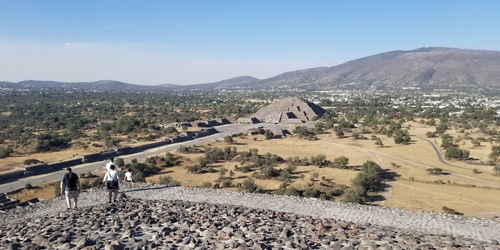
Human modification can include agriculture, road pavement, forestry, human dwellings and commercial buildings, and power lines, among many other activities and constructions. Human modification can be seen in every country and on every continent, but the largest impacts on the landscape are usually seen in countries with high ecological diversity, such as Mexico. Mexico is an ecologically heterogeneous country that hosts a diverse array of ecosystems ranging from hyper-arid deserts to tropical rainforests, and it is one of the biologically megadiverse countries of the world, with high endemism for birds, mammals, and reptiles.
How can we measure human impact?
Landscape alterations are not a new development, however, for Mexico. Large populations have inhabited the southern areas of North America since before European and Spanish settlers arrived. This historic dimension is especially relevant in countries such as Mexico, with a long history of human occupation, with well-developed agricultural settlements and large urban centers that heavily impacted their respective hinterlands, and well-documented civilization collapses.
One method used to measure the intensity of human impact on a landscape is the Human Footprint Index (HF). The HF uses four variables to summarize the effects of human modification: population density, land use change, access areas, and electric infrastructure. González-Abraham et al. (2015) used the HF index to study the human modification impact on Mexico as well as how the environment layout might have contributed to human landscape change.
Human Transformation Score
González-Abraham et al. (2015) used a modified HF index to create a Human Transformation score (HT) that generally scaled from 0 to 10 with 10 being the highest transformation of a landscape due to human influence.
The HT score incorporated human population and roads and transportation corridors, and the data from these was converted into a HT score based on levels of intensity and extent. Intensity is the degree to which an activity at a location has transformed the original ecosystem, and extent measures the aerial extension of the human activity at a specific location.
The HT score for population density and the road type was converted into a pixel to create visual variability, and data was smoothed over. The geographical pattern of HF was characterized using: (a) the statistical distribution properties (mean, standard deviation, and skewness) of the human footprint within each ecoregion and each biome, and (b) the mean patch size and percentage of areas within each ecoregion with minimal direct human influence (HF = 0), as an indicator of the size of large continuous areas with native vegetation cover.
What did the study find?
The final HT pixel scores revealed that the eastern coastal area near the Gulf of Mexico has the highest human footprint, followed by the west coastal area near California and the central area near Mexico City.
Half of the country (55.9% of the total land surface) fell within the very low human footprint value (HF = 0), implying that over half of Mexico still maintains vegetation cover in reasonably good environmental conditions, and only 10.3% was classified within the very high footprint value (HF ≥ 7).
The lowest areas of human landscape modification are found in the north and in the south where the environment is more arid or dense tropical, respectively. The Sierra Lox Tuxtlas ecoregion exhibited the highest HT score while the Western Sierra Madre displayed the overall lowest HT score.
Seven of Mexico’s ecoregions showed HF changes in a significant portion of their landscape. The North American Desert and the Mediterranean California biomes, which are primarily arid desert biomes, had very small HF values and very little, if any, ecoregional variation. The Mediterranean California biome has no ecoregional variation because it contains only one ecoregion in Mexico, and except for the North American Desert biome and Mediterranean California, the rest of the biomes contained at least one ecoregion with HF > 3 and showed marked differences in mean HF values between their ecoregions.
Additionally, seven ecoregions were found to contain historically dense populations. Two of them are in the Yucatan peninsula (Plain and Hills of the Yucatan Peninsula and Northwestern Plain of the Yucatan Peninsula) and five in central and southern Mexico (Interior Depressions, Gulf of Mexico Humid Coastal Plains and Hills, Transversal Neo-Volcanic System, Mexican High Plateau, Sierra Los Tuxtlas).
Why Does the Human Footprint Vary by Region?
The variation of human landscape modification illustrates that the topography of the environment has a significant influence on the level of human impact. For instance, the regions of Mexico that are least impacted tend to contain topography that is more difficult to settle, such as the Sierra mountain ranges or the northern deserts. Additionally, historical occupation of a region also contributes to the scale of human transformation in that area.
For example, within the Tropical Humid Forests biome, the Plains and Hills of the Yucatan Peninsula have a mean HF value of 1.02, while the Sierra de Los Tuxtlas, one of the most intensely deforested regions of Mexico, has a mean HF value of 4.74, the highest for any ecoregion in the country; both areas have similar climate and vegetation, the main difference between them lies in their past histories of natural resource use and land clearing.
Some of the densely populated areas are located near the Gulf of Mexico, which provides good ports for transportation, proximity to oil fields, and good agricultural opportunities. Inland areas that were historically densely populated experience many land-use changes over time as control of the land switched from indigenous to Spanish peoples.
Much of the land that was once under indigenous cultivation was put to a new use, and cattle and sheep production was introduced to the Gulf Coast by burning forest, wetlands, and former tropical orchards, altering indigenous agricultural landscapes to encourage the growth of grasses while plantation crops emerged in the Gulf of Mexico, including sugarcane, first, followed later by cacao, cotton, and tobacco.
Although over 50% of Mexico’s landscapes have low HF values, there are still many human influences on the country’s ecosystems and regions that are continuing to reduce native vegetation. Therefore, future studies of landform change over time due to human impact is necessary to reduce negative environmental changes.
Want to know more?
- González-Abraham, C., Ezcurra, E., Garcillán, P., Ortega-Rubio, A., Kolb, M., Bezaury Creel, J. The Human Footprint in Mexico: Physical Geography and Historical Legacies. PLoS ONE. Mar2015, Vol. 10 Issue 3, p1-17.
